| Prev | Next |

|
|
| Prev | Next |
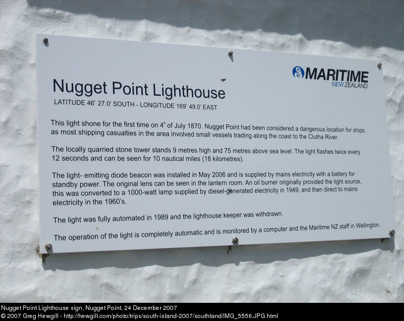
Nugget Point Lighthouse sign, Nugget Point, 24 December 2007
This light shone for the first time on 4 th of July 1870. Nugget Point had been considered a dangerous location for ships, as most shipping casualties in the area involved small vessels trading along the coast to the Clutha River.
The locally quarried stone tower stands 9 metres high and 75 metres above sea level. The light flashes twice every 12 seconds and can be seen for 10 nautical miles (18 kilometres).
The light-emitting diode beacon was installed in May 2006 and is supplied by mains electricity with a battery for standby power. The original lens can be seen in the lantern room. An oil burner originally provided the light source, this was converted to a 1000-watt lamp supplied by diesel-generated electricity in 1949, and then direct to mains electricity in the 1960's.
The light was fully automated in 1989 and the lighthouse keeper was withdrawn.
The operation of the light is completely automatic and is monitored by a computer and the Maritime NZ staff in Wellington.
Original size: 2592x1944
Timestamp: 2007:12:24 11:27:00
Exposure time: 1/800 s